
Spatial development

Warsaw University of Technology
Faculty of Geodesy and Cartography
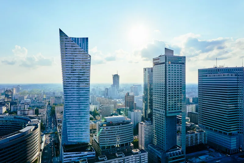
Warsaw, Poland
Duration
3 semesters
Tuition Fee
non-EU: EUR 1500 / semester / EU: PLN 2000 / semester
ECTS Credits
90
Degree
M.Sc.
Key Details
Programme Description
Spatial Planning (specialisation: Smart Environmental Planning and Design)
The new specialization “Smart Environmental Planning and Design” in the Master of Spatial Planning program equips students with cutting-edge knowledge and practical skills to address contemporary environmental and urban challenges, focusing on global green deals and digitalization of the planning process. You will learn how to benefit from the digital revolution in a smart decision-making process aiming to create a sustainable future for all. This interdisciplinary program integrates sustainability, digital technologies, and strategic thinking to foster innovative and resilient solutions for cities, regions, and ecosystems.
Environmental planning focuses on decision-making processes that shape the relationships between natural systems and human systems. It aims to manage these interactions effectively, transparently, and equitably, ensuring benefits for both present and future generations. Some key elements of contemporary environmental planning include: social and economic development, urban and regional development, natural resource management and integrated land use, infrastructure systems, and governance frameworks.
Examples of modules:
Geohazards and Urban And Rural Regeneration
Regional Policies and Spatial Planning
Geospatial Technologies for Sustainable Environment
Photogrammetry and Remote Sensing in Environmental and Urban Planning
Spatial Data Mining, Big Data, and Data Storytelling
Sustainable rural landscape development
Climate action planning and governance
Green Infrastructure for Resilient Landscapes and Cities
Challenges in Environmental Impact Assessment for Sustainable Spatial Planning
UAV Technologies in landscape planning and monitoring
Additionally, we offer two compensatory courses:
1) Fundamentals of GIS and
2) Introduction to Spatial Planning for students with another background.
Graduate Profile:
A graduate of the Spatial Planning program possesses advanced, interdisciplinary knowledge in spatial planning, urban design, and the functioning of local governments. They understand the processes occurring in natural and human-made environments and the challenges of modern civilization, including climate change and the management of limited resources. The graduate is well-versed in geospatial technologies (GIS, remote sensing), as well as BIM and CAD tools, enabling them to model, simulate, and forecast processes crucial for spatial planning.
They are proficient in professional literature and fluent in a foreign language. The graduate can diagnose and design spatial development plans across various scales, integrating ecological, social, and economic dimensions. They are skilled in developing comprehensive municipal and regional development strategies and making informed decisions about urban and rural areas using data and international best practices.
Graduates can engage communities and stakeholders in co-creation processes and manage complex planning initiatives. They are prepared to work independently and collaboratively, often taking on team leadership roles. Equipped with research skills and problem-solving abilities, they are well-suited for further academic pursuits, including doctoral or postgraduate studies.
Career Prospects – Career Opportunities:
Graduates of the program find employment in:
public administration units (central and local government at various levels),
planning and design offices,
Real estate companies,
companies involved in transport and infrastructure development,
research and development institutions,
consulting firms and think tanks (independent expert teams).
Admission Requirements
Admission requirements can be found here: https://www.students.pw.edu.pl/How-to-Apply/Admission-to-M.Sc
Need Help Applying?
Our experts guide you through every step - from choosing the right programme to obtaining your visa.
500+ students helped successfully
University Information
University
Warsaw University of Technology
Type
University of Technology
Faculty / Unit
Faculty of Geodesy and Cartography
Region
Mazowieckie
City
Warsaw
Budgeting for Your Studies?
Don't just guess your expenses. Use our interactive calculator to get a precise, personalized monthly cost estimate based on your lifestyle, housing preferences, and city.
Calculate My CostsProgramme information is provided by universities and may change. Always verify details during your consultation.