
Geodesy and cartography

University of Warmia and Mazury in Olsztyn
The Faculty of Geoengineering
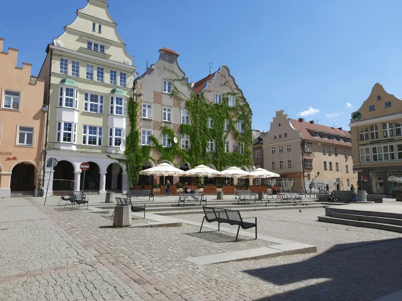
Olsztyn, Poland
Duration
3 semesters
Tuition Fee
4800 PLN / semester
ECTS Credits
90 per whole cycle
Degree
MSc
Key Details
Programme Description
Geodesy and Geoinformatics - M.Sc studies (3 semesters)
Studies in the area of Geodesy and Geoinformatics provide the candidate with knowledge and skills in the field of geodesy and cartography.
The offered courses enable the candidate to gradually develop his/her skills in the area of geodesy and cartography. The curriculum includes general and introductory courses offering both theoretical knowledge and practical instruction. The curriculum combines the following courses: specialist courses - modeling the future surveyor's profile (geodesy, cartography, photogrammetry and remote sensing, spatial information systems, real estate management), occupational training courses - preparing the graduate to perform specialist services in the area of surveying, keeping the real estate cadastre, numerical processing and presentation of the results of surveying, satellite, remote sensing and photogrammetric measurements, determining and registering the ownership status of property, acquiring data for spatial information systems, developing business maps, basic maps, topographic maps and thematic maps, surveying services for investment projects. The curriculum includes facultative courses providing students with the freedom of individually planning their educational program. Every student is required to undergo vocational training in geodesy, cartography photogrammetry and cadastral measurements, and to submit an engineer’s degree thesis. Upon the completion of the relevant vocational training, the graduate is entitled to apply for a professional license of surveyor or map compiler.
Studies in the area of Geoinformatics prepare the graduate for employment in surveying and geoinformatic surveying companies, and in central and local administration units.
Admission Requirements
All admission requirements you will find here: http://www.uwm.edu.pl/bwz/en/?page_id=3454
Need Help Applying?
Our experts guide you through every step - from choosing the right programme to obtaining your visa.
500+ students helped successfully
University Information
University
University of Warmia and Mazury in Olsztyn
Type
University
Faculty / Unit
The Faculty of Geoengineering
Region
Warmińsko-Mazurskie
City
Olsztyn
Budgeting for Your Studies?
Don't just guess your expenses. Use our interactive calculator to get a precise, personalized monthly cost estimate based on your lifestyle, housing preferences, and city.
Calculate My CostsProgramme information is provided by universities and may change. Always verify details during your consultation.